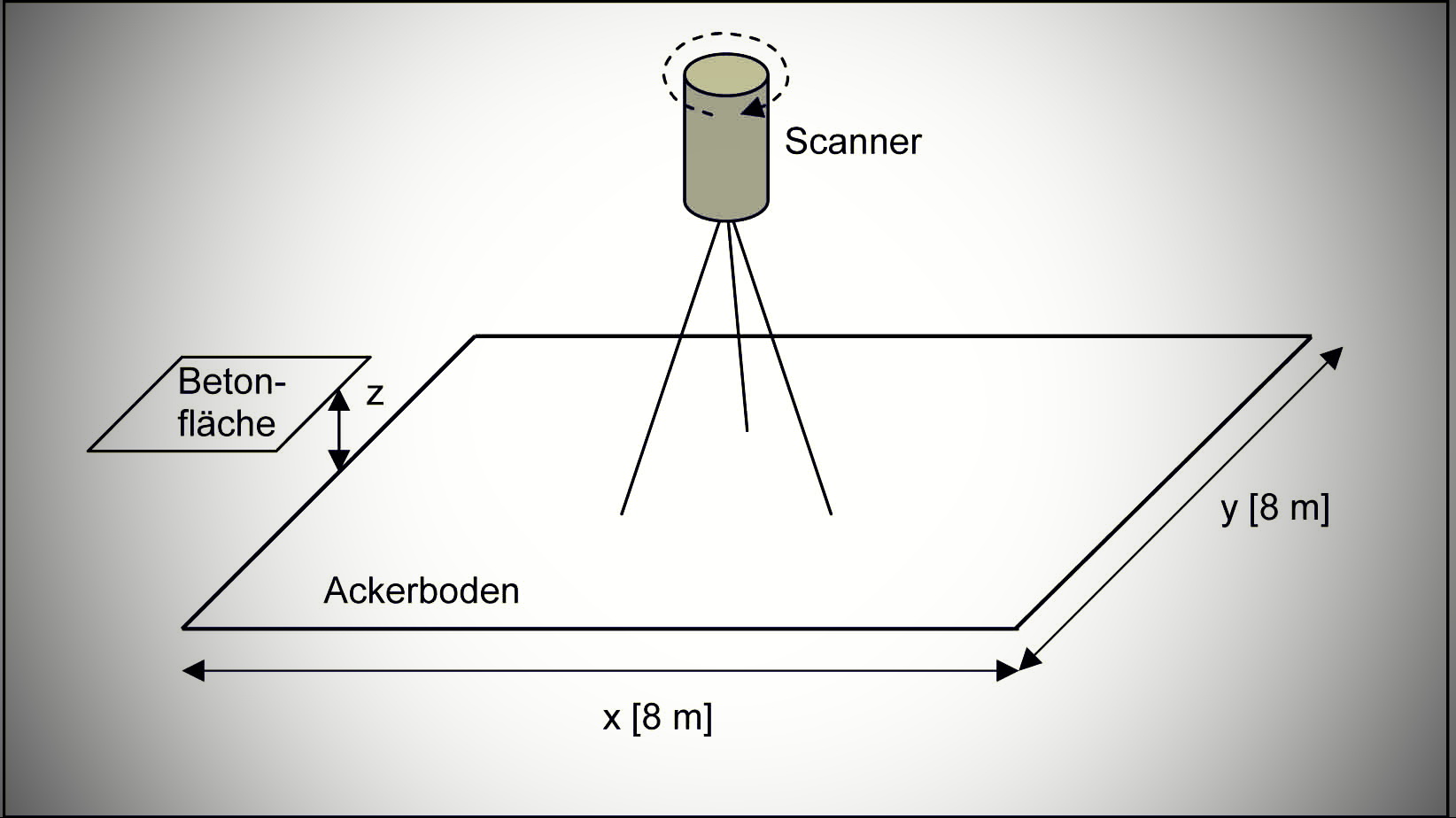

Laser relief meter (LRM)
The LRM has been designed to capture the surface structure of farmland, with the focus being on examining erosion conditions. The large clods of earth captured and the changes of their structure within the investigation period have called for, and eventually resulted in, a wide measuring range of ±50 mm, a clear distance between sensor and zero point of the measuring range (>200 mm) and as well as a high resolution (25 µm).
The area to be examined covers 1 m². Using the LRM in the open country makes further demands on the system, such as the battery-operated power supply, the low power consumption as a consequence of it, a certain degree of protection for the electronic components that admits splash water and the use of a laptop for actually conducting the test. The test will then be evaluated offline.
For a more detailed setup of the test please refer to: lrm_Disse


